
A strong disturbance will cross France this Monday and Tuesday. Three departments have even been placed on orange alert for “rain-flooding”. The rain is not going to stop in the coming days in France. The whole country is affected by a rain storm disturbance on Monday 7 and Tuesday 8 October, from the Pyrenees to the east of the country. A Cévennes episode of high intensity will also begin at the end of the afternoon, this Monday, with heavy rain storms and wind. The “precipitation is expected to be very intense between Languedoc and the Cévennes, over a “relatively short” period not exceeding 24 hours”, specifies La Chaine Météo in its latest press release. special, this morning. In total, 43 departments are on alert for rain and/or storms, this Monday, according to Le Chaine Meteo. For its part, Meteo France announces the passage to orange alert “rain-flood” of three departments: Ardèche, Lozère and Gard. “Rainstorms and storms of a fairly large scale and unusual for the month of October (except for the Cévennes regions)” are expected at the beginning of this week, according to Météo France. The level of vigilance could even be revised upwards in the coming hours. This Monday, cumulative rainfall could reach up to 100mm in the Massif Central, Franche-Comté, Lyonnais as well as Var and Alpes-Maritimes. This corresponds to approximately two weeks, up to a month of rain. This Monday, “on the Cévennes ardéchoises, cumulative rainfall could climb to 200mm. Risks of overflowing or flooding of watercourses as well as occasional flooding are possible, especially since this precipitation will fall on already saturated with humidity, from Burgundy to mainly Auvergne, indicates La Chaîne Météo. © La Chaine Météo In the afternoon, hailstorms could hit from the Aquitaine basin to Burgundy. Precipitation will increase this Monday evening in the Cévennes, Hérault and Gard due to a strong sea wind. La Chaine Météo evokes the “beginning of a Cévennes and Mediterranean episode that will last 24 hours”, with significant intensity. “As a result, heavy rainstorms accompanied by strong winds (100 km/h) will fall all night from Monday to Tuesday, from the Cévennes to Franche-Comté and south of the Alps to Isère via Lyon. The entire Rhone corridor will then experience very poor weather conditions. The neighboring departments will also be affected, in the PACA region, the Auvergne-Rhône-Alpes and Franche-Comté, but to a lesser extent,” adds La Chaine Météo. In detail, Météo France indicates that “on the night of Monday to Tuesday, an active rainstorm episode will affect the Cévennes regions. The precipitation will be intense and could lead to accumulations of around a hundred mm in 3 to 6 hours. Over the episode (about a dozen hours) 150 to occasionally 200 mm are expected. For Tuesday, rain and heavy storms will affect the Rhone corridor and the PACA region as far as the Alps and Franche-Comté. The alert could therefore be extended. “In these regions of the Centre East, given the previous rainy episodes and saturated soils, the hydrological reactions could be marked,” warns La Chaîne Météo. However, the intensity of the rain will decrease on Tuesday afternoon, before the disturbance evacuates towards Italy on Tuesday evening. 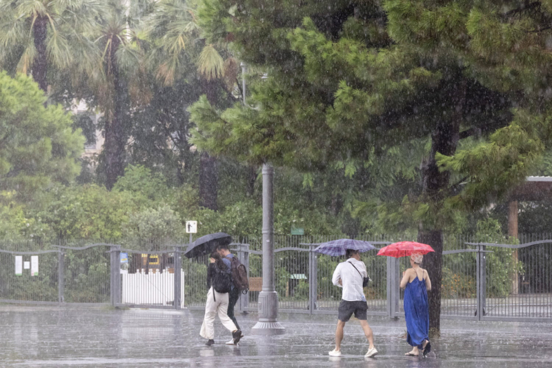

An evacuation of the disturbance on Tuesday evening

By Teilor Stone
Teilor Stone has been a reporter on the news desk since 2013. Before that she wrote about young adolescence and family dynamics for Styles and was the legal affairs correspondent for the Metro desk. Before joining Thesaxon , Teilor Stone worked as a staff writer at the Village Voice and a freelancer for Newsday, The Wall Street Journal, GQ and Mirabella. To get in touch, contact me through my teilor@nizhtimes.com 1-800-268-7116